
GPR scanning & mapping
We locate underground services with radar, mark their positions & depths on the ground, & map them as a simple PDF record with detailed sub-centimetre DWG drawing.
About GPR scanning & mapping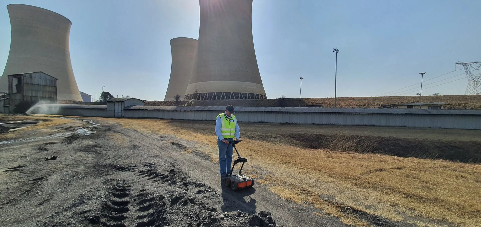
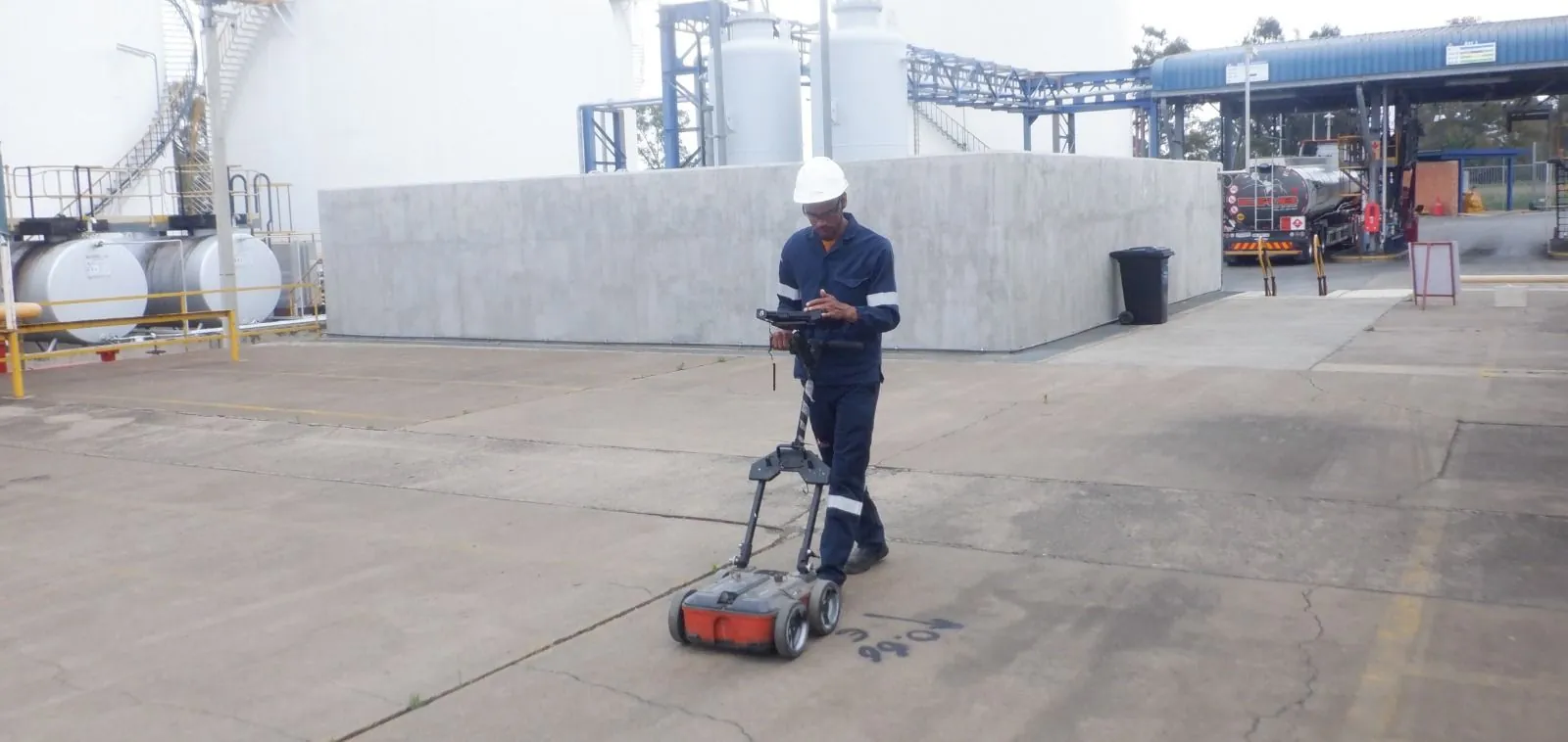
Non-destructive GPR & EML service location & 3D LiDAR scanning. We mark the positions & depths of underground services on the ground, & deliver sub-centimetre DWG & PDF drawings or 3D point clouds, saving you time & money.
Locating, mapping & scanning for engineers, contractors, property owners & municipalities.
We locate underground services with radar, mark their positions & depths on the ground, & map them as a simple PDF record with detailed sub-centimetre DWG drawing.
About GPR scanning & mappingFor smaller sites: services located with GPR & EML, marked on the ground, with a written report of photos & methodology — no mapping needed.
About GPR scanning & written reportMillions of laser measurements create a 3D point cloud of structures, tunnels & land deposits, delivered in .LAS file format.
About LiDAR scanningCombined technical experience across our team.
A short turnaround between your quote & the survey.
Heavy investment in equipment that saves you time & money.
Each survey is planned around the client’s needs.
From a single service line to a full site.
A GPR survey at Netcare Ferncrest Hospital in Rustenburg, ahead of upgrades to the water back-up tanks.
A survey at a Rand Water pump station before excavation, confirming the depth & location of all underground services.
A survey at Vodacom World to detect potable water services before leak detection.
Tell us about your site & we’ll come back to you with a quote.